
ECOsystem Spaceborne Thermal Radiometer Experiment on Space Station (ECOSTRESS) - 08.01.18
The ECOsystem Spaceborne Thermal Radiometer Experiment on Space Station (ECOSTRESS) investigation provides the first-ever high spatiotemporal (space-time) resolution thermal infrared measurements of the surface of the Earth from the International Space Station (ISS). Taken at varying times throughout the daylight cycle, these high spatiotemporal thermal infrared measurements enable ECOSTRESS to answer several key science questions related to water stress in plants and how selected regions may respond to future changes in climate. Science Results for Everyone
Information Pending
OpNom: ECOSTRESS
Principal Investigator(s)
Simon Hook, Ph.D., NASA Jet Propulsion Laboratory, Pasadena, CA, United States
Co-Investigator(s)/Collaborator(s)
Information Pending
Developer(s)
Jet Propulsion Laboratory, Pasadena, CA, United States
Sponsoring Space Agency
National Aeronautics and Space Administration (NASA)
Sponsoring Organization
NASA Research-SMD
Research Benefits
Information Pending
ISS Expedition Duration
February 2018 - August 2018
Expeditions Assigned
55/56
Previous Missions
Information Pending
Experiment Description
Research Overview
- Global models disagree on water use efficiency (WUE) based biome changes with climate change. Uncertainty in the knowledge of carbon response is directly dependent on water response uncertainty, and how plants use water under drying conditions.
- ECOsystem Spaceborne Thermal Radiometer Experiment on Space Station (ECOSTRESS) reduces this uncertainty with measurements for WUE by:
- acquiring numerous samples throughout the day over 1 year.
- measuring the shape of the daily ET cycle through diurnal sampling.
- The ECOSTRESS mission also helps to answer three key science questions:
- How is the terrestrial biosphere responding to changes in water availability?
- How do changes in diurnal vegetation water stress impact the global carbon cycle?
- Can agricultural vulnerability be reduced through advanced monitoring of agricultural water consumptive use and improved drought estimation?
Description
- Identify critical thresholds of water use and water stress in key climate sensitive biomes;
- Detect the timing, location, and predictive factors leading to plant water uptake decline and/or cessation over the diurnal cycle; and,
- Measure agricultural water consumptive use over the contiguous United States (CONUS) at spatiotemporal scales applicable to improve drought estimation accuracy. CONUS comprises 48 states in number, and the District of Columbia, excluding Alaska and Hawaii.
Applications
Space Applications
ECOSTRESS utilizes the unique vantage point of the ISS to provide the first-ever high spatiotemporal resolution thermal infrared measurements of the surface of the Earth, showcasing the space station as a testbed for scientific discovery.
Earth Applications
The ECOSTRESS investigation enables scientists to answer questions related to changes in water availability, how changes in daytime vegetation water stress may impact the global carbon cycle, and how agricultural vulnerability may be reduced through advanced monitoring of water use and improved drought estimation.
Operations
Operational Requirements and Protocols
- CONUS + Canada
- Day-time data only
- Climate hotspot and agricultural regions
- Twelve predefined 1000km × 1000km regions
- Day-time data only
- FLUXNET sites
- 400km × 400km images at 23 sites
- Day-time data only (~120 visits/year)
- Calibration/Validation sites
- 400km × 400km images at 4 sites
- Day-time and night-time data (~180 visits/year).
Decadal Survey Recommendations
Information Pending
^ back to topResults/More Information
Information Pending
^ back to topRelated Websites
ECOSTRESS Website from JPL
Imagery
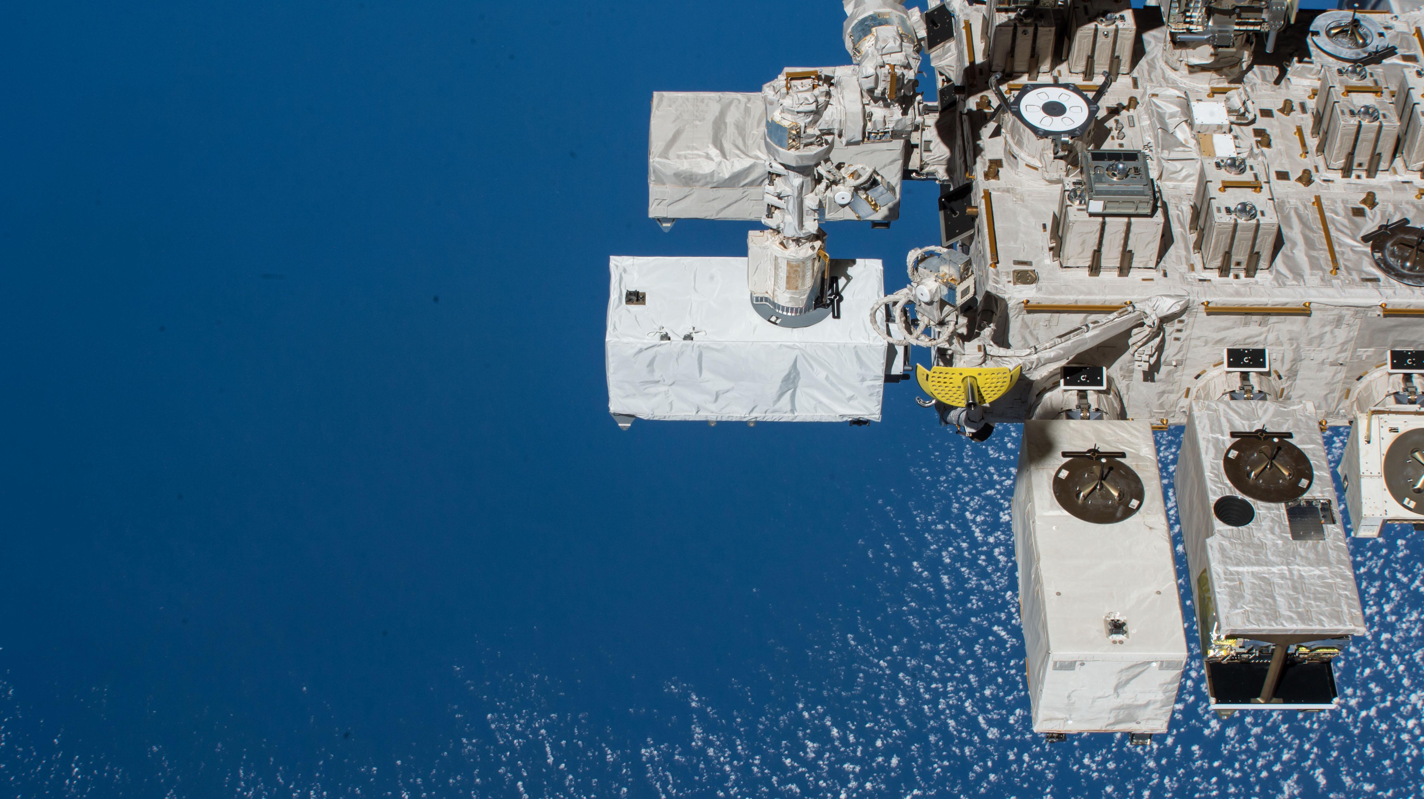
 NASA Image: ISS056E078527 - External view of the The ECOsystem Spaceborne Thermal Radiometer Experiment on Space Station (ECOSTRESS) investigation. This experiment provides the first-ever high spatiotemporal (space-time) resolution thermal infrared measurements of the surface of the Earth from the International Space Station (ISS).
 + View Larger Image